What Life in Security-Widefield CO Looks Like Every Day
February 26, 2026
February 26, 2026
Thinking about life in Security-Widefield and how your days would flow? You want short, predictable drives, everyday amenities close by, and spots to unwind without trekking across town. This guide gives you a clear picture of commutes, key roads, parks, schools, and where locals actually go for coffee, groceries, and weekend fun. By the end, you will know what to expect and how to plan your move with confidence. Let’s dive in.
Security-Widefield is a single community on the southern edge of the Colorado Springs metro area with a suburban feel and county-level governance. It stretches across relatively flat prairie between Interstate 25 and open-space corridors to the east. Locals often describe areas north of Fontaine Boulevard as “Security” and south of it as “Widefield.” You can read more about the community’s layout and history on the Security-Widefield overview.
If you work in downtown Colorado Springs, many mapping tools show a roughly 15 to 20 minute drive from central Widefield in light traffic. See a typical example on Travelmath’s driving time page. Commutes to Peterson Space Force Base often land in the 10 to 20 minute range depending on your starting point and gate. Schriever Space Force Base tends to run longer, commonly 20 to 35 minutes. Fort Carson is close for many residents, with typical drives around 10 to 25 minutes. Traffic peaks, weather, and construction can change these times, so always check a live map before you go.
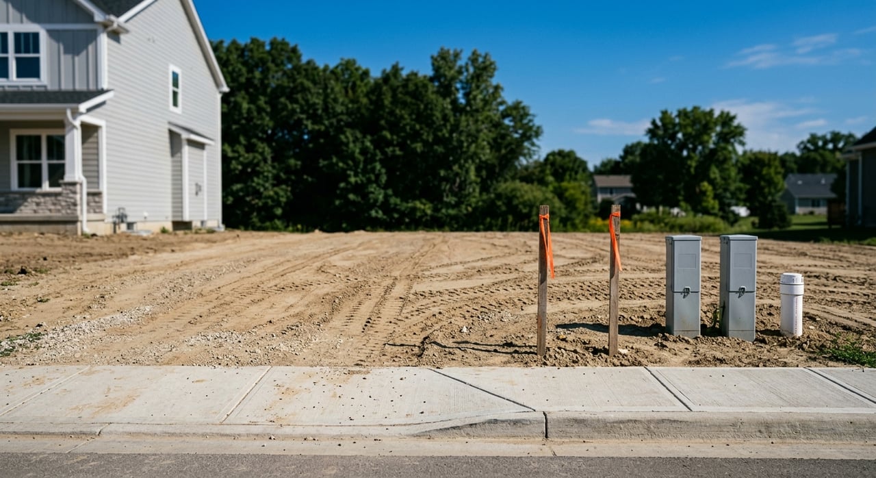
Fontaine Boulevard is the local east-west spine and an easy landmark when you are learning the area. Interstate 25 handles most north-south regional trips, including drives to downtown and the north side of Colorado Springs. Marksheffel Road and Powers Boulevard connect you to retail and job centers, while the CanAm and Las Vegas street corridors round out local links. New commercial growth is gathering near Fontaine and Marksheffel and in the expanding Lorson Ranch area noted in the community overview.
Mountain Metro Transit offers limited fixed-route service in and near Security-Widefield. Regional planning documents confirm coverage exists but note that frequencies outside major corridors are modest, so most residents drive. For context on the transit network and regional connections, review the PPACG long-range transportation plan. For active options, local trails make short rides and runs simple. The Crews Gulch Regional Trail links neighborhoods to the Fountain Creek corridor, and nearby open spaces are popular for everyday walks.
Most everyday errands cluster along Fontaine Boulevard. You will find independent dining and coffee, thrift shops, and neighborhood services. One example is a local favorite, The Local Table on Fontaine. Bigger-box groceries and national chains are a short drive away in the Fountain and Mesa Ridge corridors. As Lorson Ranch grows, new retail pads are coming online, which adds more options close to newer neighborhoods.
Expect morning and late-afternoon traffic to pulse with base commutes and school drop-off and pick-up. Evenings often shift to youth sports, park time, and takeout along Fontaine. On weekends, you will see coffee-shop regulars, garage-sale hunters, and families heading to local open spaces. Many residents choose quick local outings during the week and save mountain hot spots in Colorado Springs for longer weekend day trips.
This county park is a go-to with playgrounds, sports fields, new pickleball courts, and an 18-hole disc golf course. It is ideal for after-school energy burn or a casual weekend. Explore features and updates on the Widefield Community Park page.
Just east of neighborhoods, Bluestem Prairie Open Space offers prairie views, birdwatching, and mellow trail loops. It is perfect when you want nature without a long drive. Learn more about the prairie habitat and trail access via the regional open space overview.
If you prefer to stay close, the Crews Gulch Regional Trail ties local streets to the Fountain Creek corridor. It is a convenient choice for short rides, stroller walks, and daily runs.
Most of Security-Widefield is served by Widefield School District 3. The district includes multiple elementary schools, junior highs, and high schools such as Widefield High and Mesa Ridge, plus the newer Grand Mountain K-8 in the Lorson Ranch area. Check current campuses and programs on the WSD3 schools page. If a specific school matters to you, review boundaries early and confirm with the district.
The Security Public Library is a community hub with storytimes, a makerspace, and outreach events like a bookmobile. It is a reliable stop for kids’ activities and quiet afternoons. See schedules on the Security Public Library site.
Military families often use on-post care at Evans Army Community Hospital on Fort Carson and clinics at Peterson and Schriever. Start with Evans Army Community Hospital’s primary care information. Civilian residents typically head into Colorado Springs for urgent care and hospital services at major systems like Penrose, St. Francis, and UCHealth.
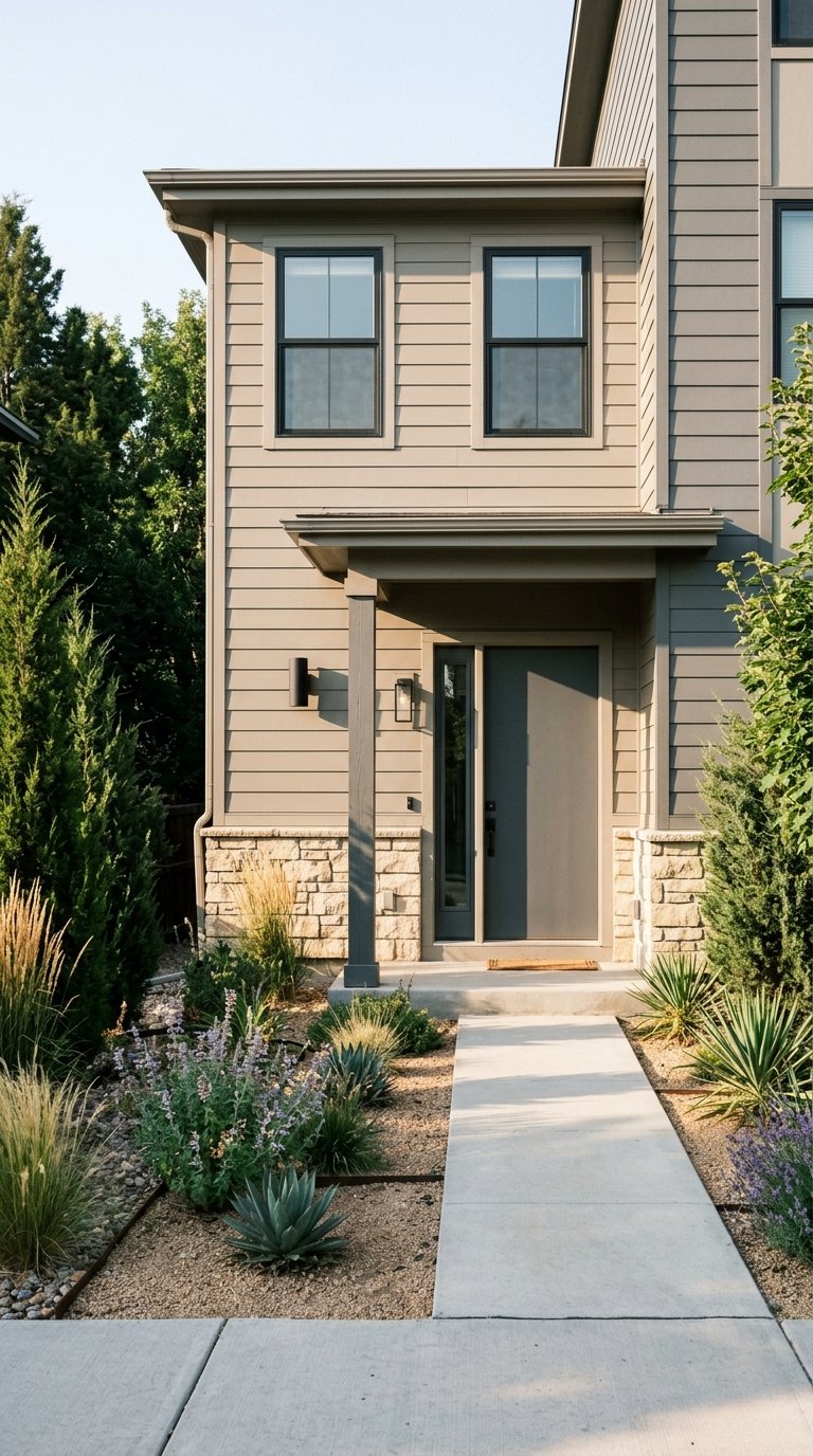
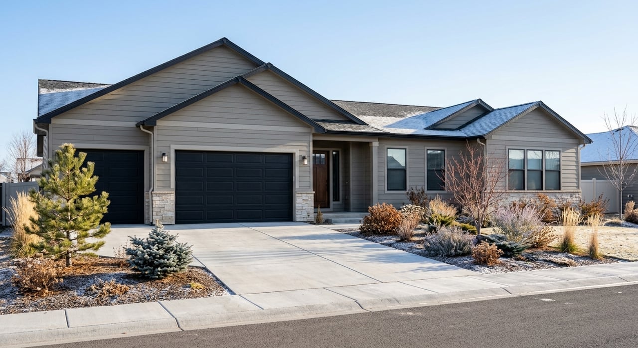
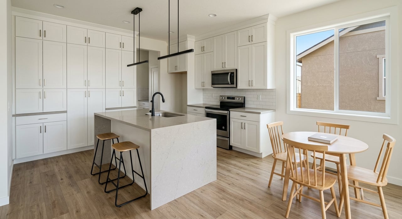
Security-Widefield blends established mid-century areas with newer master-planned neighborhoods. North of Fontaine you will see older ranch-style homes on a traditional grid. South and east, subdivisions like Lorson Ranch and Painted Sky offer newer single-family and townhome options that appeal to entry and mid-market buyers. Street-to-street character varies, so it helps to tour both the older cores and the newer edges to understand the fit for your lifestyle.
If Security-Widefield’s easy drives, practical amenities, and open-space access fit your lifestyle, let’s map your next move. As a third-generation local broker, Scott Coddington and the Pulse Real Estate Group team will help you compare neighborhoods, line up on-market and new-build options, and plan a smooth relocation. Have a home to sell first? Get pricing clarity and a marketing plan that maximizes exposure. Get a Free Home Valuation.
Stay up to date on the latest real estate trends.

Serving communities from Colorado Springs through Pueblo and Denver, west into the mountains or east to the plains, our team is here to help with all your real estate needs across Colorado’s Front Range.